
For decades, the battle to maintain North Carolina Highway 12 has been fought with yellow bulldozers, emergency sandbags, and prayer. Today, coastal planners and transportation engineers unveiled a comprehensive long-range alternative: a 20-year transition toward elevated bridge spans and permanent sand-bypass bypasses.
Following the success of the 2.4-mile “Jug Handle Bridge” at Rodanthe, which bypassed one of Hatteras Island’s most vulnerable washouts, the newly released Outer Banks Resiliency Corridor Master Plan targets five additional flashpoints along Pea Island, Buxton, and northern Ocracoke.
Living With Dynamic Inlets
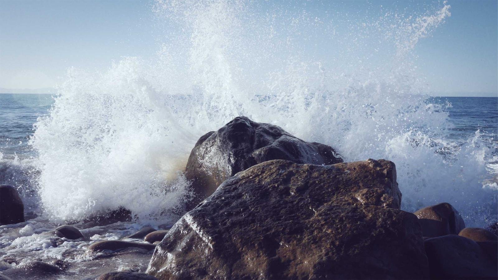
Unlike static inland highways, the Outer Banks barrier spit naturally migrates westward under the pressure of Atlantic wave action and rising relative sea levels. Marine scientists at East Carolina University’s Coastal Studies Institute in Wanchese contributed extensive hydrodynamic modeling to the report.
“The old approach of dumping ocean sand back onto a paved strip that gets swept away three months later had become fiscally untenable,” explained NCDOT coastal district engineer Brad Kowalczyk. “Elevated viaducts carry higher upfront capital costs, but they allow storm surges and longshore sediment transport to pass unimpeded beneath the deck.”
"Our families have lived on this sand since the 1700s. We know how to weather hurricanes; what we need is a road that doesn't wash into the sound every October."
Ernal Foster, Buxton Civic CouncilThe first phase of the $340 million initiative will commence near Avon, where recurring ocean breaches have severed tourist traffic and commercial supply chains for days at a time.